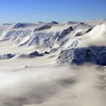
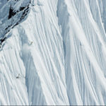
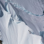
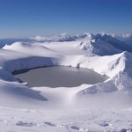
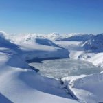
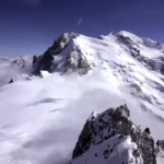
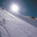
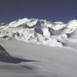
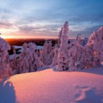
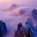
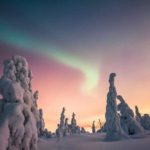
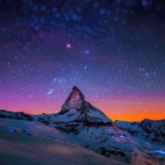
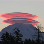
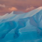
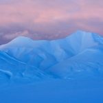
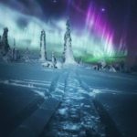
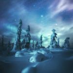
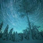
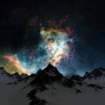
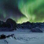
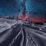
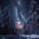
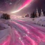
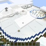
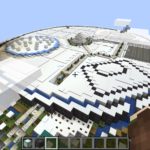
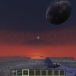
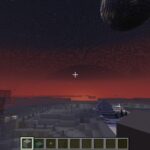
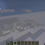
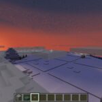
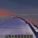
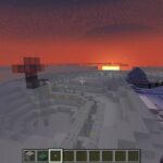
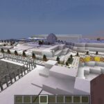
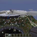
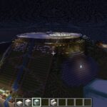
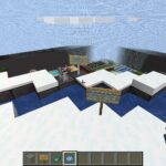
There’s a lot going on up above the clouds! The hike, drive, or flight up over the edge of Inisfree’s tallest mountain is well worth it.
–
Table of Contents:
- Dimensions & Layout
- Atop the Mountain; Directory
- Overall (Images Begin)
- Day
- Sunset
- Night
- People
- 2022 Update: Scale-model in Minecraft
- 2023 Update: Access
- 2024 July 16 Tuesday
–
Dimensions & Layout:
- Location: above the center of Inisfree
- Altitude: 2 miles above Inisfree’s ground-level; ~3.75 miles above sea-level
- Width: 10,560′; 2 miles
- Area: 87,600,000 square feet; ~3.14 square miles
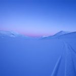
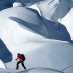
- Topography: smooth rolling snow-covered hills and flat snowy areas/plains, with a variation of up to ~50′ (vertical) in some places, though usually only ~10′
–
Atop the Mountain:
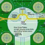
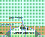
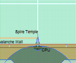
- Avalanche Ring Wall: a construct several stories tall, and one which looks like it might belong in one of the Halo games
- Bhutan’s Tiger’s Nest Monastery: just like the original
- Cloud City: Inisfree’s artificial mini-moon, hovering (Repulsine-assisted, of course) right above the Avalanche Ring Wall; its path is a couple miles above the circular border of Inisfree’s main mountain’s plateaued summit
- ColonyPod Hatches: circular doors nearly a mile wide, four of them arranged evenly around the near-top of the main mountain’s slope; these are the gates which allow only Inisfree’s colony-establishing Spaceships to pass in and out on their training flights out to the main lake’s beach landing zone
- Crow’s Nest Position: a point near the top center of Inisfree’s controlled airspace dome
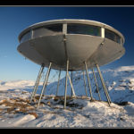
- Dance Disc: open-air not-quite-a-club
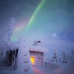
- H.A.A.R.P. Facility: imagine an array of antennae as extensive as those of the original H.A.A.R.P. sites, but with the modern technology miniaturized and fine-tuned to the point of being god-like with all forms of atmosphere-modification (and which has the source-code for the Aurora Australis and Inisfree’s private aurora)
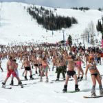
- Harbin-style Ice Festival: a year-round ice-sculpting, igloo-building, ice-block castles & slides event based amidst the snow-dunes atop Inisfree’s tallest mountain
- The Lion Art Academy: envisioned by Sir Gabriel Tiberius, this winged lion-shaped school building perched near the top of Inisfree’s tallest mountain is where all the art students of Inisfree master drawing, painting, sculpting, sketching, computer art tools, and much more (with classrooms both inside the body of the ‘lion’ and along the tops of its extended horizontal wings)
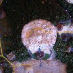
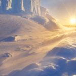
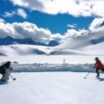
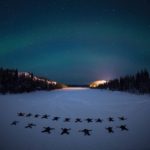
- Snow Dunes Area: the snowy circular plateau crowning the tallest mountain of Inisfree is home to several attractions other than its curiously non-chilly snow (and at night one can make out the Christmas lights-like colorful glow of a phenomenon beneath its snow like a rainbow aurora buried in its diaphanous white powder haze)
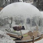
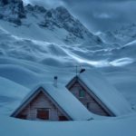
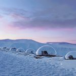
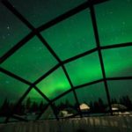
- Snow-dunes Igloos Village & Ice Hotel – inspired by the Kakslauttanen Arctic Resort in Finland
- Snowmobile Racetrack: more than a mile of hard-packed snowy routes, some with fun snow-hill/berm ‘jumps’
- Spire Temple: right in the center of the Snow Dunes plateau-summit, this inverted golf-tee shaped building has the color scheme of Inisfree’s highways; smooth white exterior with inlaid gold, and crowned in the Mormon style with a gold trumpeter-angel (though this one is a nude girl, of course; we are Inisfreeans)
- Tornado Crater and The Overhang Base: right outside this Hoth-inspired military post and entrance to the top of the city’s ‘Main Womb’ (ColonyPods housing facility for pilot trainees) is the double-crater (a big bowl-like crater with a smaller bowl-like pit down near the middle of its floor) where weather-modification practitioners hone their skills by forming, guiding, and ending actual tornadoes
–
Overall:
–
Day:
–
Sunset:
–
Night:
–
People:
–
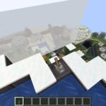
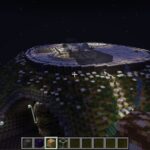
2022 Update: Scale-model in Minecraft
–
2023 Update: Access
You can only approach and enter the Overhang Base if you have requested and been approved (by an ICV) for training there.
You cannot walk or fly (or portal, or enter via any other means/way) into the snow-dunes quadrant reserved for wedding jumps unless doing a wing-suit jump for the wedding that day; that section of this summit is only for the groom (who is always the High King) and bride/s.
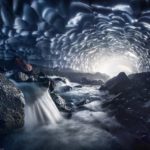
If you even think about “relieving yourself” anywhere on the snow up here, especially if it is in or even next to one of the tributaries feeding the waterfalls which then start our canals, you will have all access to this summit permanently removed.
–
2024 July 16 Tuesday:
The GAH section atop the central mountain does not light up as much as regular GAH sections do ahead of traffic. This is to keep the local and downslope nighttime views of the sky and local aurora better. Otherwise, there would always be a significant glow from atop our biggest landform.
Also, of course, there are often gusts of wind that spread snow over this portion of our realm’s highway, and lighting up the drivable surface beneath that blown snow might further reduce visibility. Some Outlander vehicles switch from headlights to fog lights during such conditions. We here not only have vehicles and drivers designed to easily see through blizzards, but also designed the roads/streets/highway sections themselves to help.
–
Also see:
- ICVs’ accuracy throwing snowballs
- general size of the tributary starts –and no one is allowed to kayak them in our realm
–


